 Catàleg local de Mallorca
Ajuntament d' Inca
Type of resources
Available actions
Municipios
INSPIRE themes
Keywords
Contact for the resource
Provided by
Years
Formats
Representation types
Service types
Scale
-
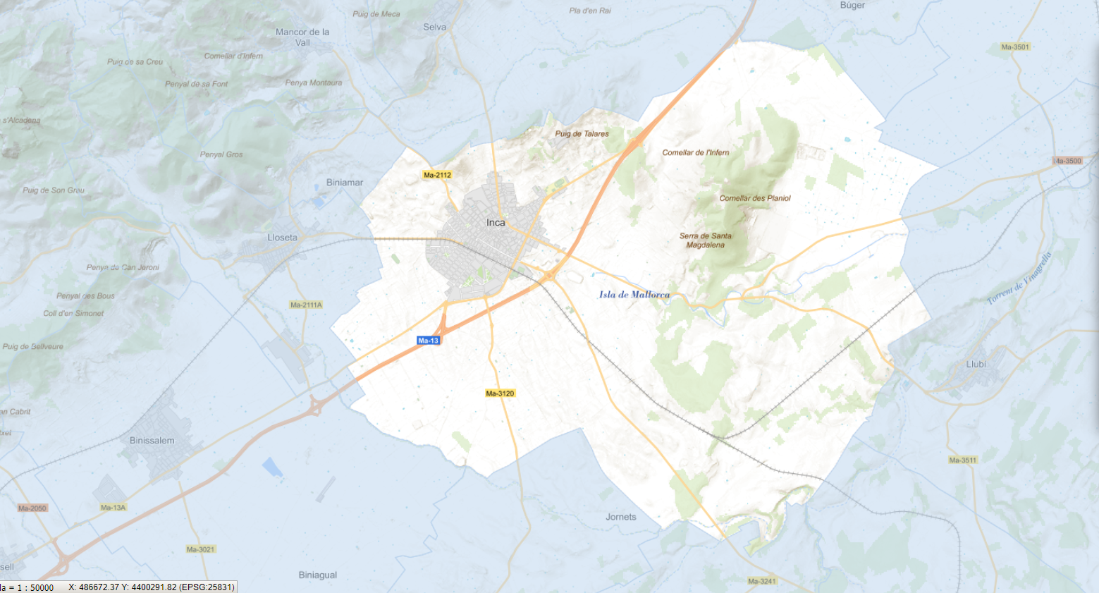
Cartography of the toponymy of the municipality of Inca. The names refer to the topics of the INSPIRE Transport Directive in Annex I of the INSPIRE Directive . Cartography generated in 2021. The sources are the Cartociudad project, version 2012, for the names of Transport, and the Urban Rules of 2002 and the Country Rules of 2003 for the names of Land Use and Protected Sites. The names of the urban elements are at scale 1: 2,000 and the names of the rustic elements, at a scale of 1: 5,000. Reference system: ETRS89. Projection system: UTM fus 31. Storage format: PostgreSQL.
-
Web Map Service that allows access to the cartography of the names Transport networks. You can also check the characteristics of the texts. The associated style of layers is defined by the INSPIRE specifications. Access to this service is free provided that Inca Town Hall appears as the owner of the data and Consell de Mallorca as the owner of the service.
-

ATOM download service that allows access to the cartography of addresses, transport infrastructure network and geographical names of the municipality of Inca. Cartography extracted from the Cartociudad project. The service complies with the INSPIRE download services technical guide (version 3.1) and uses OpenSearch technology to query the available data sets. The phenomena are served according to the original data model of each project. Access to this service is free provided that Inca Town Hall appears as the owner of the data and Consell de Mallorca as the owner of the service. Scale 1: 2,000.